SKARN Consulting
Our Services
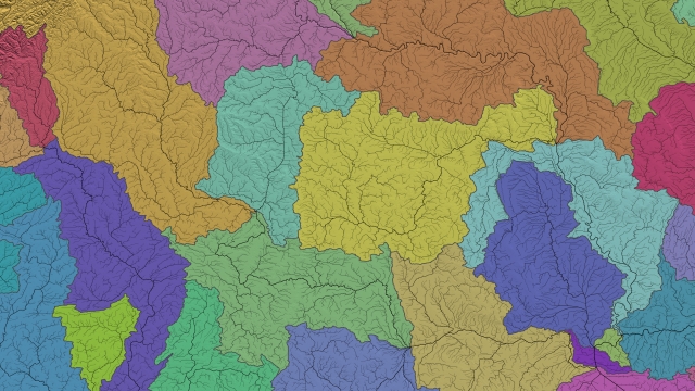
GIS and Mapping
We provide GIS and mapping services ranging from data validation and correction to cartographic map production and spatial analysis. Outputs can be delivered as standalone products or integrated into larger systems, depending on project requirements.
More Information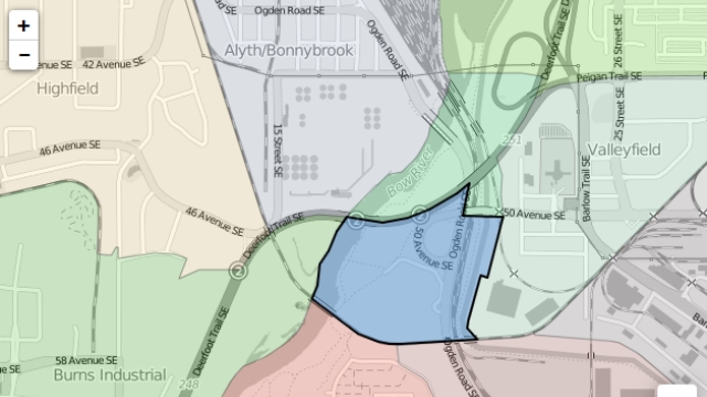
Web Mapping
We build interactive web maps using Esri and open-source technologies. Maps are designed for responsive use across devices, with an emphasis on clarity and usability. Work ranges from simple visualization maps to more complex web-based geospatial tools.
More Information
Remote Sensing
We analyze satellite and aerial data using optical, lidar, and radar sources to support identification, monitoring, and time-series analysis. Remote sensing work is applied across areas such as agriculture, forestry, and natural hazard management.
More Information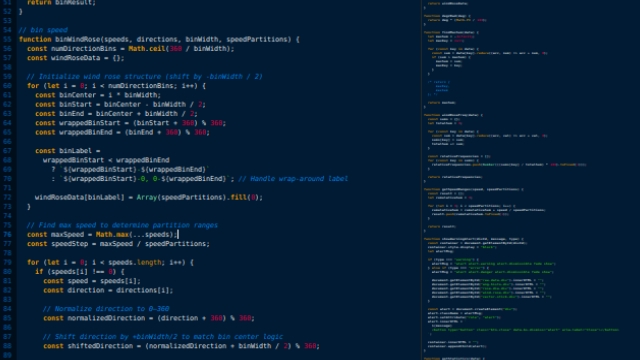
Software Development
We develop custom geospatial software ranging from focused automation scripts to standalone desktop applications. Software is built to support data processing and analysis tasks within existing technical workflows.
More InformationTools and Technology
We use open-source geospatial technologies as our primary tools and also support workflows based on Esri and other proprietary systems.